
Gallery
The lake, as it actually looks
Our own photographs of Lake Titicaca, all taken on our tours: the Uros islands, Taquile, Amantani, the Sillustani chullpas, kayaking and biking. Not one is stock.
We took every one of these on a real departure, with the passengers who were there that day. Filter by place and open any of them: each one leads to the tour where it was taken.
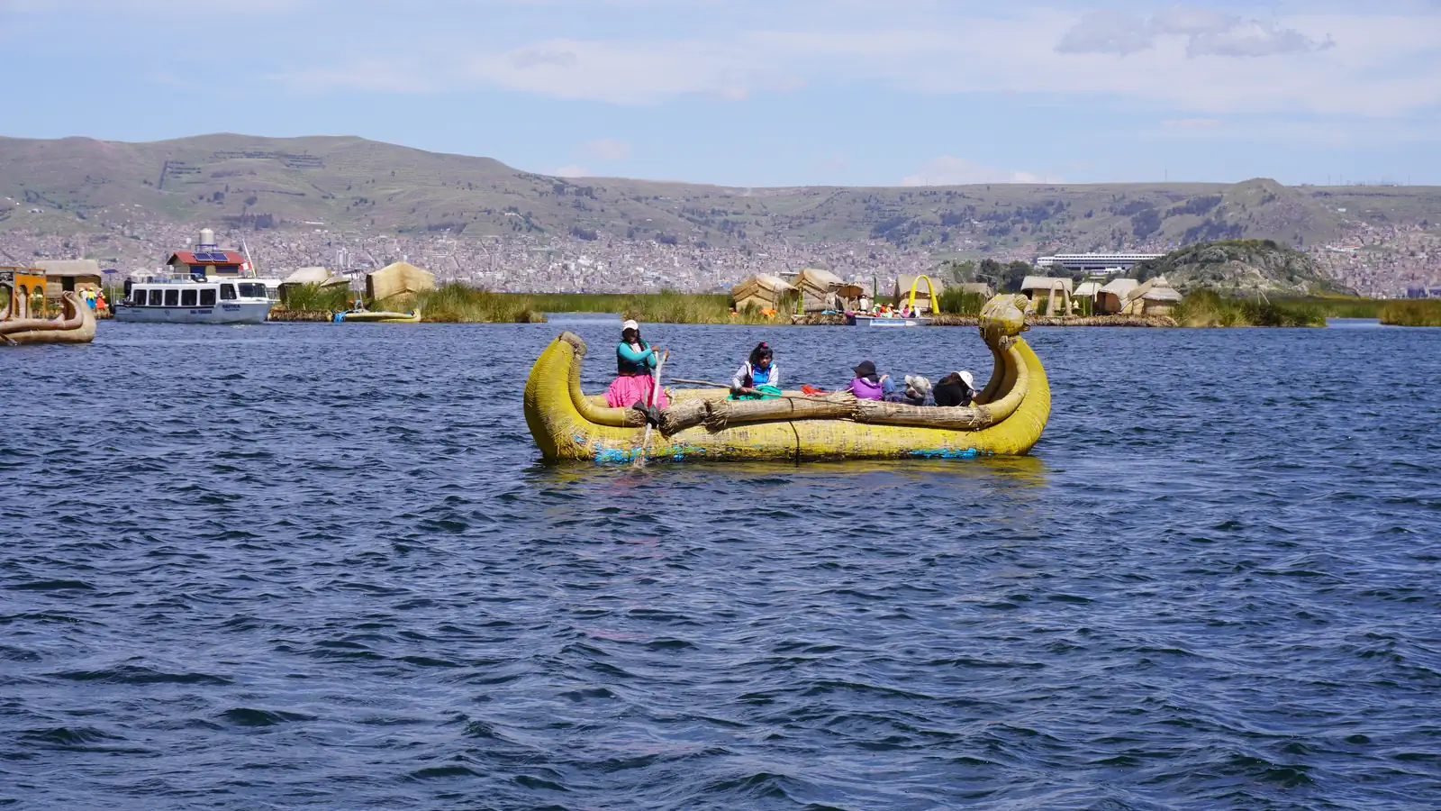
Tandem kayak on Titicaca, paddles upKayaking Paddling through the reed beds, close to shoreKayaking From the bow, islands aheadKayaking Totora reed — the plant the Uros islands are built fromKayaking The shoreline road, lake alongsideBiking the shore A stop at the lookout, above the bayBiking the shore Bikes on the shore before carrying onBiking the shore Riding across the altiplano, the lake behindBiking the shore Kayaking beside a Uros reed boatKayaking The Yavarí, launched in 1862 and still afloat in PunoUros Islands PunoUros Islands PunoPrivate transfers A reed boat crossing between the isletsUros Islands A Uros family with their weavingUros Islands A reed hut on the floating islandUros Islands Uros IslandsUros Islands Men of Taquile in the hats they knit themselvesUros and Taquile The stone arch above the landingUros and Taquile Terraced path, the lake belowUros and Taquile Climbing towards the ceremonial hillsUros, Amantani and Taquile The lake seen from the islandUros, Amantani and Taquile Amantani IslandUros, Amantani and Taquile A Sillustani chullpa; the person shows the scaleSillustani Lake Umayo, at the foot of the complexSillustani SillustaniSillustani The chullpas on the Sillustani hillSillustani A stop at Abra La Raya, on the way to CuscoPrivate transfers El Misti above Arequipa, the end of one routePrivate transfers The arcades of Arequipa, where the road from Puno endsPrivate transfers Alpacas on the outskirts of PunoPrivate transfers The altiplanoPrivate transfers El Misti through an arch of the Yanahuara viewpointArequipa City Tour The sillar arches of Yanahuara, with verses carved into the stoneArequipa City Tour Chachani above the countryside, from the Carmen Alto viewpointArequipa City Tour The Colca Canyon from the Cruz del CóndorColca Canyon Waiting for the condors at the viewpointColca Canyon
36 photographs
Where everything sits
The lake, to scale
Titicaca covers 8,500 km² and the border cuts it in two: the dashed line is the boundary with Bolivia, which really does run through the lake. We operate on the Peruvian half, the part sailed from the port of Puno. Hover a destination to see how far out it is.
Tap a destination, on the map or in the list, to open its card.